|
 Sailing USA San Juan Islands, Washington USA |
||||
|
This section is for educational purposes only. It is not to be used to plan an actual trip or as an aid to navigate waters.
Kevin Kavanagh
and his associates assume no liability for the information presented on
this website. The user is responsible to check the validity of all
information. For comments: |
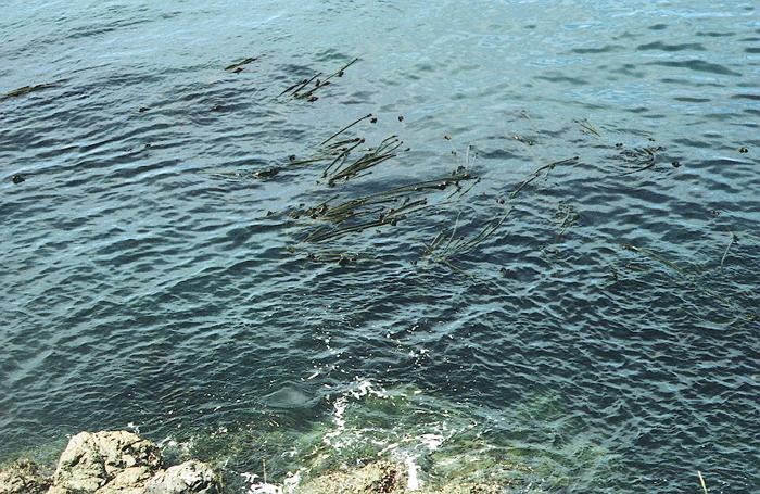
Because of the tidal currents, the course to steer is often not the same as the course to make good. One should use a range (lining up two landmarks on shore) or satellite navigation system to maintain a proper heading. Judging the speed of the wind by the appearance of the water must be done with consideration of the current. A wind blowing against a 6 knot current will form high waves and white caps around 10 - 12 knots. However, when blowing with the current the formation of white caps and significant waves may be delayed to around 18 to 20 knots.
The navigational system used was a hand-held satellite map GPS system, which continuously displayed the position and heading (track) of the sailboat on a nautical map. We also had a backup hand compass. PFD: Our PDF's were CO2 inflatables. The CO2 cartridges could not be shipped by mail or airlines. After we arrived we bought new cartridges in Anacortes. CO2 Cartridges are consider hazardous material. They may not be taken on-board airplanes without prior approval of the air carrier--See Regulation Title 49 part 175. They can be shipped separately by an air shipping service but they must be declared and a hazardous material permit is often required.
Kevin Kavanagh
and his associates assume no liability for the information presented on
this website. The user is responsible to check the validity of all
information. For comments:
|